- SDG 14 is ‘Life Below Water :Plastic pollution. Increasing levels of debris in the world’s oceans are having a major environmental and economic impact. Marine debris impacts biodiversity through entanglement or ingestion
- SDG 14 is ‘Life Below Water :Coastal waters are deteriorating due to pollution and eutrophication. Without concerted efforts, coastal eutrophication is expected to increase in 20 percent of large marine ecosystems by 2050.
- SDG 14 is Life Below Water :Ocean acidification has increased significantly in recent decades. Open Ocean sites show current levels of acidity have increased by 26 per cent since the start of the Industrial Revolution.
- SDG 14 is Life Below Water :Oceans absorb about 30 per cent of carbon dioxide produced by humans, buffering the impacts of global warming.
- SDG 14 is Life Below Water :Oceans provide key natural resources including food, medicines, biofuels and other products. They help with the breakdown and removal of waste and pollution, and their coastal ecosystems act as buf
Nasa-isro Sar Mission (nisar)
;)
;)
;)
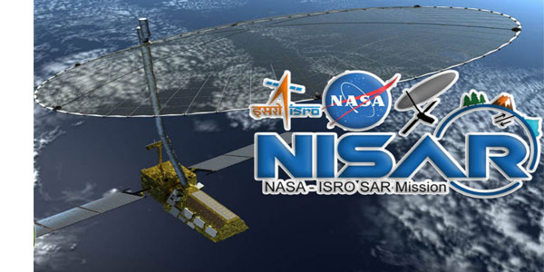
NASA-ISRO SAR Mission (NISAR)
The NISAR satellite or NASA-ISRO Synthetic Aperture Radar is a joint venture of India and USA in the area of RADAR imaging.The design of NISAR will be as to monitor and track some of the most difficult processes of the planet that include ecosystem imbalance,ice-sheet collapse, and natural phenomena such as landslides, heavy floods, El-Nino, an annual increase in temperature change, depletion of ozone layer etc.
NISAR (NASA-ISRO Synthetic Aperture Radar) venture is a dual frequency L-Band & S-Band Satellite. In this program, NASA/JPL will take the responsibility to design and develop L-band SAR, 12m change surface antenna, data recorder & GPS system.S-band SAR, data transmission system, Spacecraft Bus, Spacecraft integration and testing, launch using on-orbit operations and GSLV is done by ISRO.
Recorded data from NISAR will give the information that brings change in earth's surface, provide ideas for the processes that bring changes in Nature, possible for scientists to have proper knowledge about planet's processes and changing the climate, and provide the future resource for risk management. This is not the very first when both space agencies are jointly ii the space mission project.
The two radars that are used in this will take snapshots of the earth in a weekly pattern, that will give the information sequence of frames of plate motions in the earth, changes in flora in forests as well as in agriculture.
The objectives and aims are:
-Launch a Dual frequency Radar Imaging Satellite system.
- Analyze new implementation areas using microwave data of Radar, especially in environmental resources scaling and observing, estimating agricultural biomass over the time period of crop cycle, monitoring soil health, reshaping of surface because of seismic reasons, coastal erosion, mangrove valuation, coastline disorders and wind's effect in coastal waters, flood monitoring etc.
Applications:
In September 2014 both the two agencies decided their work in the area of development.Mission Concept and Key Decision Point reviews are done JPL/NASA.ISRO has completed the S-Band and SAR payload as well as Spacecraft's Baseline Design Reviews.The first Joint meeting of NISAR was organized on 21st July 2015. NISAR is expected to hit the space in the calendar year 2021.
Estimated cost of project -
(i) ISRO’s estimated cost will near to Rs 788.00 Cr
(ii) JPL’s estimated cost will near to USD 808 million.
Vikas Yadav IMIA005
1 Comments

Rajendra kumar jain
TheNISAR is a mile stone of ''ISRO'' .It will give the information about Agriculture,that is the best of Indian farmers. .